Maps
Examples of map layouts I have produced, followed by project descriptions for each.

Braintree Zoning
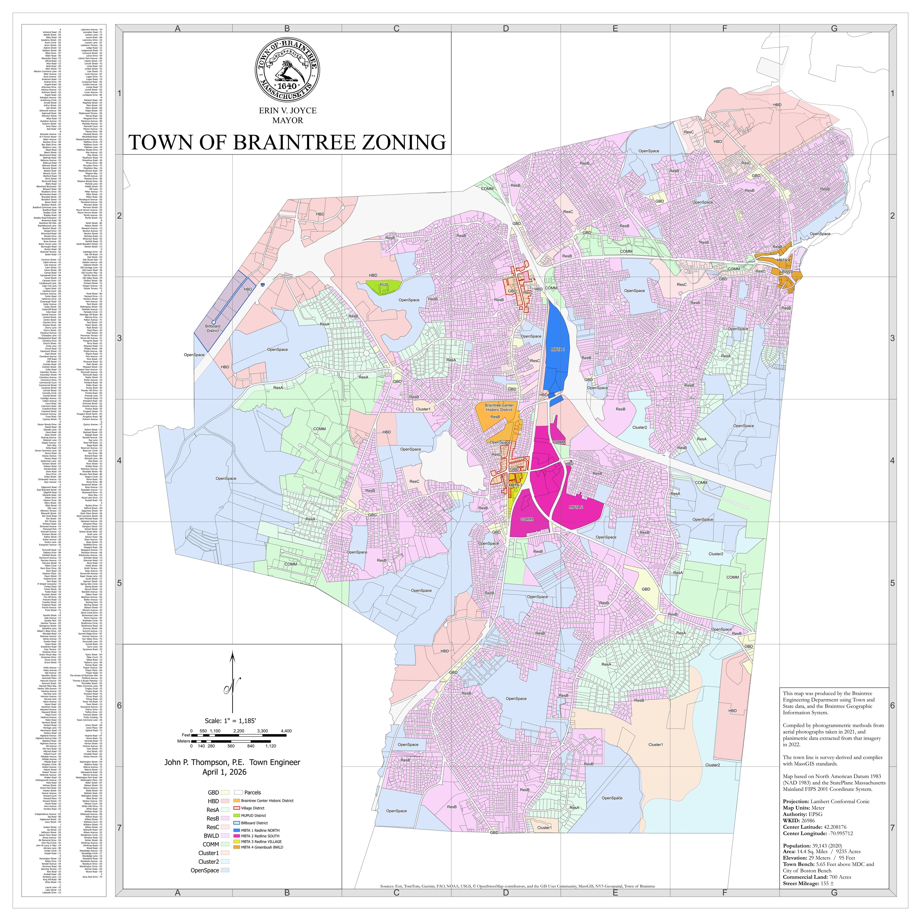
This is a Zoning map of Braintree, to support the Planning department. It shows property boundaries, roads, and zones in Braintree.
Voter Precincts
This is a map showing Voter Precincts in Braintree. It also shows schools in each precinct where voting is held.
Points of Interest
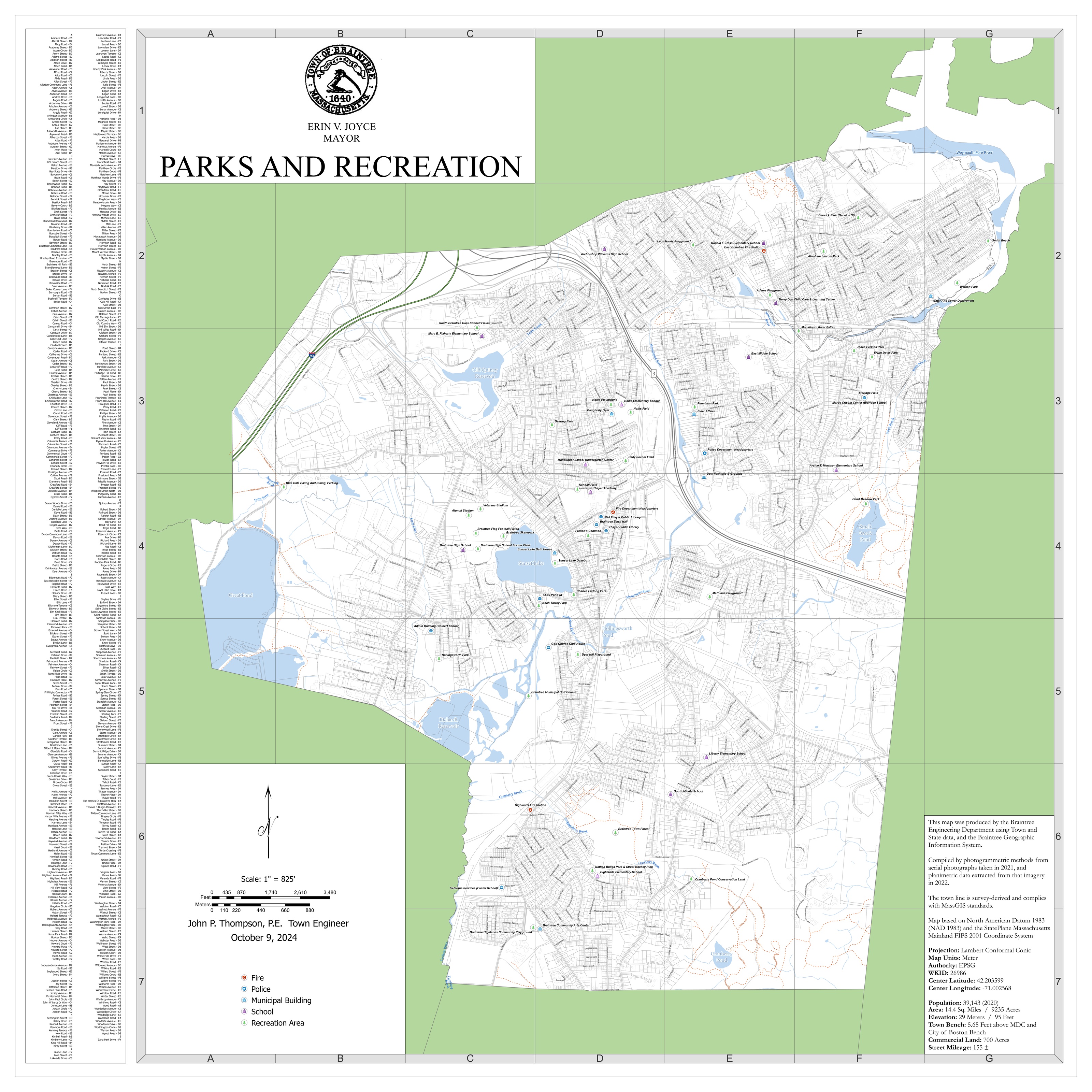
This is a map I produced for the Parks and Recreation department, that is essentially a Points of Interest map, showing Parks, Town Buildings, Schools, and other points of interest.
Trash Days
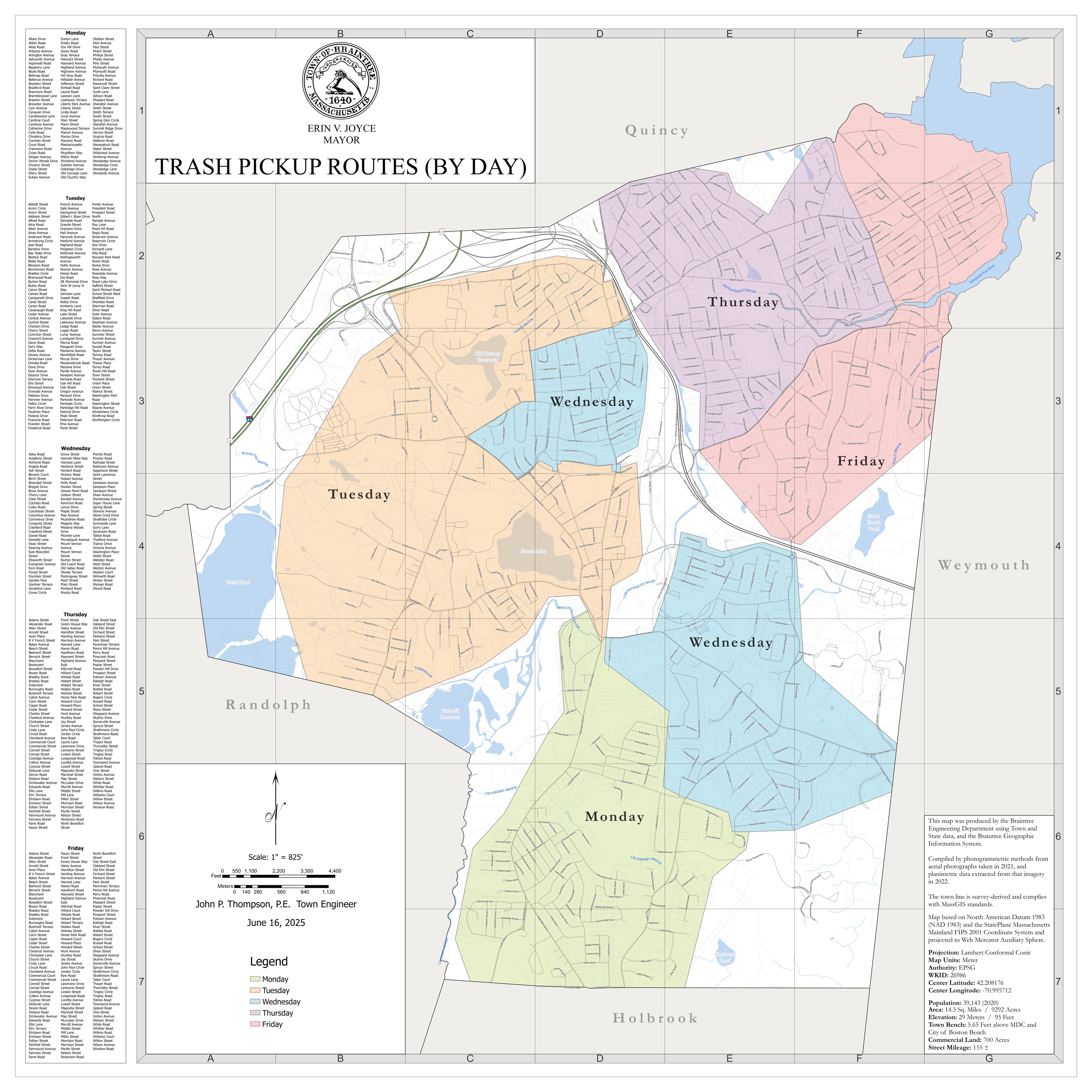
This is a map showing trash days in Braintree, with the road list on the left side-bar broken up by trash day.
Roads
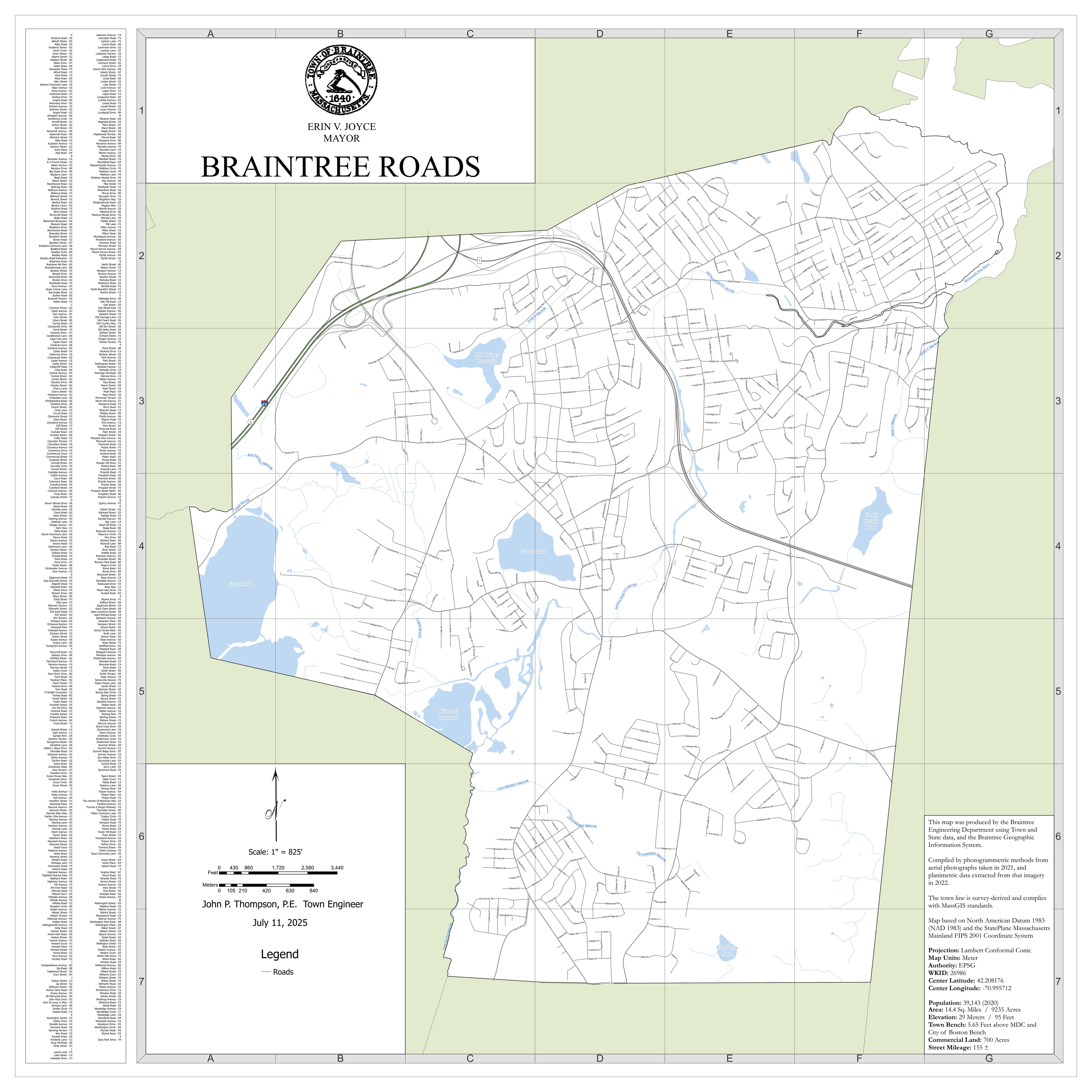
A simple road map of Braintree.
Road Ownership
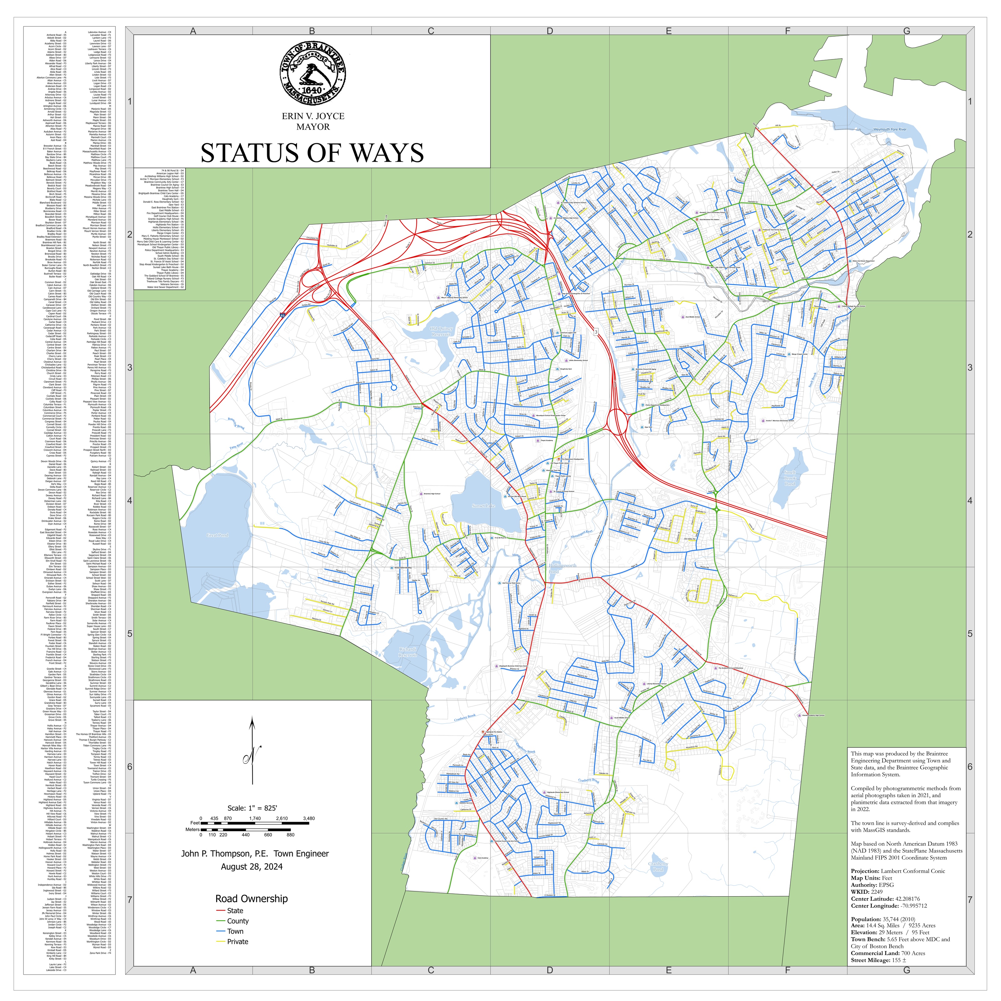
This is a 'Status of Ways' map that shows road ownership. Town roads are referred to as accepted ways, and other ownership (State, County, Private) is also shown.
Drainage System
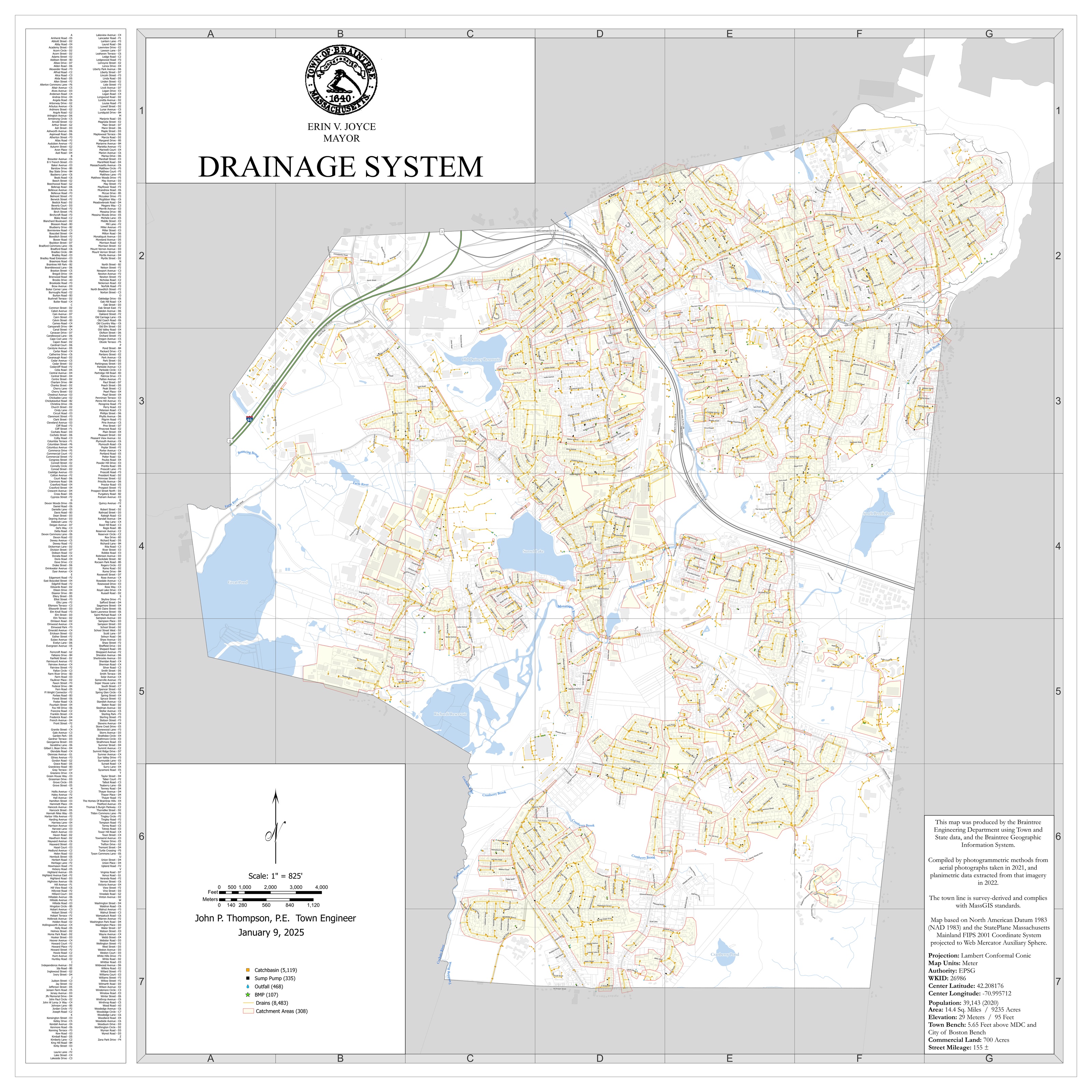
This is a map of Braintree's drainage system, in support of the Stormwater department. It shows drainage pipes, inlets, outfalls, and 'Stormwater Control Measures' (formerly Best Management Practices, or BMPs). It also shows catchment areas, something we are in the process of redefining with respect to the continually updated drainage mains.
Richardi Reservoir - Great Pond Connector
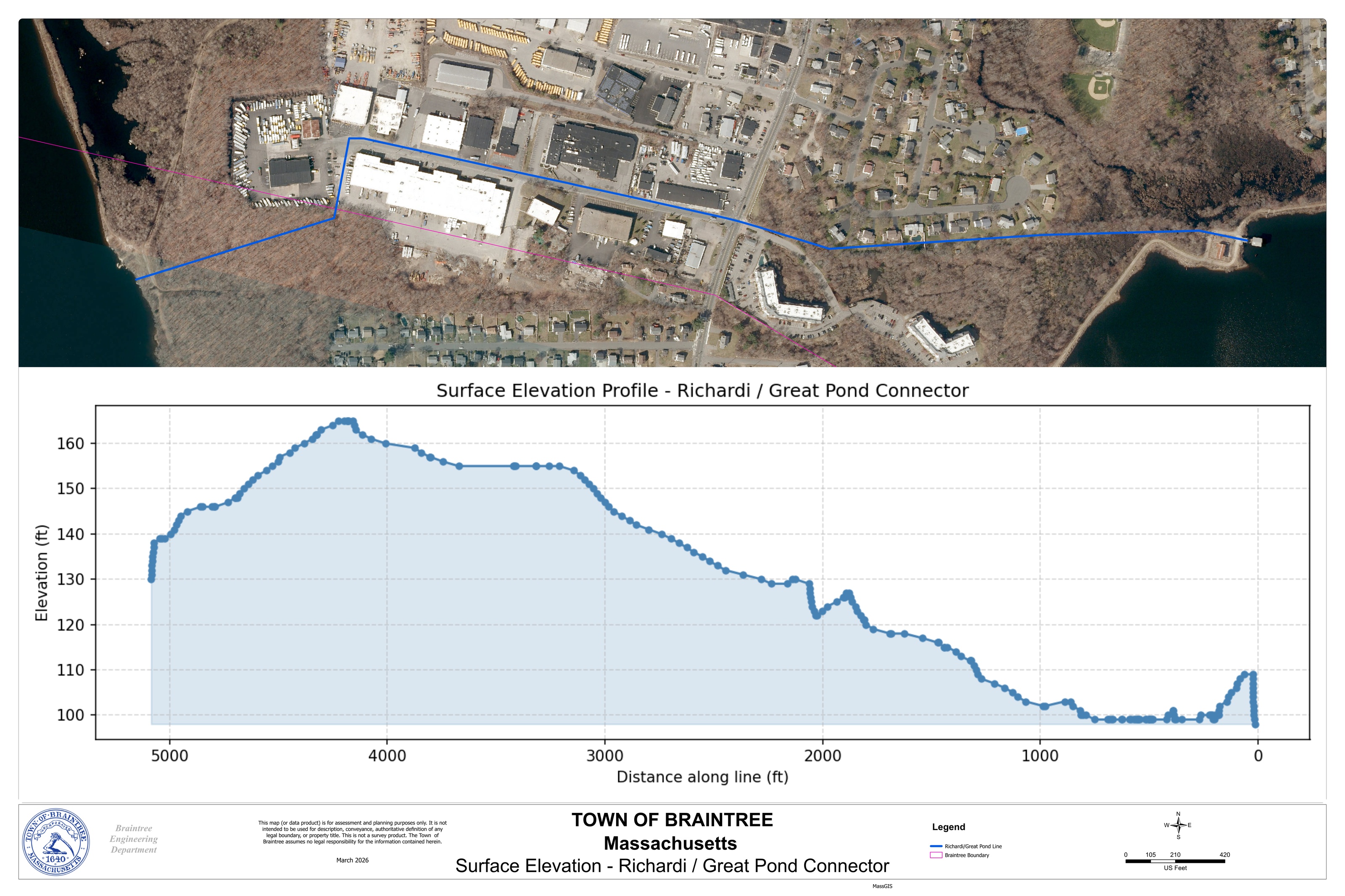
This map was produced to assist in determining the surface elevation profile above the connector between Richardi Reservoir and Great Pond (two of Braintree's primary water sources). This is part of an effort to support the new Tri-Town Water Treatment Plant, that will service Braintree, Randolph, and Holbrook.
Water Main Improvement on Plain St
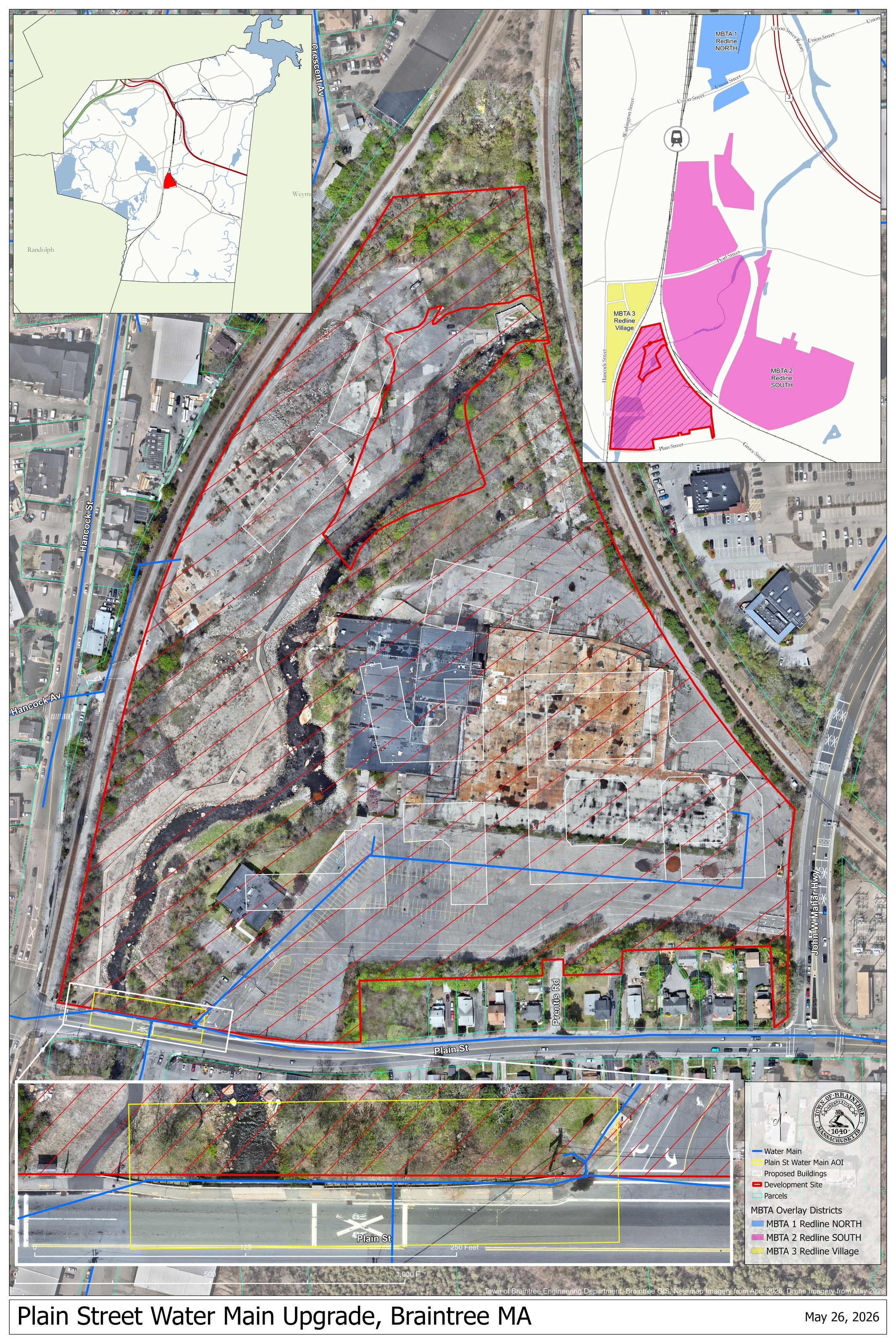
This was a map I produced to assist with a grant application for improving a section of water main on Plain Street, that will service the 752-unit apartment complex being built in this area. It includes drone imagery I collected as a back-drop for the water main and property boundary GIS layers.